Today, Dave takes a 4.5 Mile circular route to the North & East of the pretty village of Sopley in Hampshire (located 2.5 miles North of Christchurch).
After parking my car at the village hall, I start off by exploring the St Michaels & All Saints church which stands on the top of a mound to the South of the village. From there I get a great view of Sopley Mill & the River Avon. I then pass by The Woolpack pub before heading North into the countryside along the Avon Valley Path.
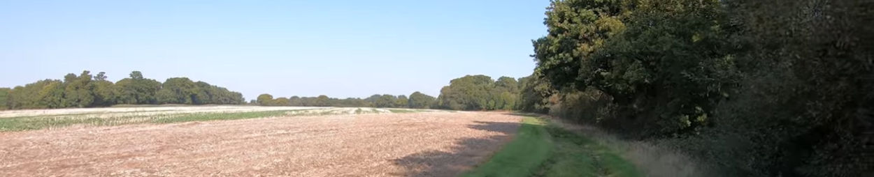
I follow a footpath alongside the Sopley Brook, through woodland and by open fields, and as well as an Egret…I spot some Ostriches at a farm in the distance. My walk then takes me East through the hamlet of Ripley and then along a straight & shady bridleway with magnificent views on both sides. I eventually cross over the New Forest boundary for a short while before heading back West towards Sopley. Along the way I see a field that used to be the site of a temporary Advanced Landing Ground airfield during WW2 (RAF Winkton). Finally I pass by the site that was once RAF Sopley -originally a radar station in WW2. For more information about the history of the radar station, check out https://www.subbrit.org.uk/sites/sopl… At the end of the video, I have included a 3.5 minute clip of a video that I made last year on the history of RAF Winkton (no commentary….just video, pictures, text & music). Map courtesy of Google Maps.
