In this episode Dave is at Stoney Cross – located 4 miles North West of Lyndhurst, Hampshire – and he takes a 3 mile circular route across open heathland & beautiful woodland.
I park my car at the Forestry Commission car park on Stoney Cross Plain. There was once an RAF Airfield located here in World War Two and the car park uses one of the old concrete dispersal pans. The airfield is long gone but there are little bits of evidence that can be seen on the walk that are reminders of the area’s former use.
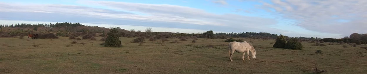
Initially I head West across the plain, passing by New Forest ponies as well as a Forestry Commission worker & his tractor, removing excess gorse before finding one of the sources of the Highland Water (one of the major streams through the Forest).
Just before turning South, I take a look at the Ocknell Pond. It was bone dry when I last visited it in August but now, in November, it is completely full.
After exploring a small ravine to look at some old concrete remains of the airfield (!), I head in to the ancient Ocknell Inclosure. These woods were planted up in the last 1700’s (although there were trees there before that date) and basically abandoned in 1815 when the inclosure was thrown open (inclosure fences removed). As a result, there are some very old Oak & Beech trees there to admire & enjoy.
I come across various “tree fungi” in the woods as well as a magical little waterfall in one of the streams.
The route takes me out of the woods at the South Eastern end of the inclosure at the Ocknell Campsite and then it is not too far back to the car park.
A short video that looks at the history of RAF Stoney Crosss can be seen at : NEW FOREST AIRFIELDS IN WW2 : RAF STONEY CROSS – YouTube
NB: At 13 mins 48 secs I mention that “pollarding” usually took place about 1.5 metres up the tree when in fact it was usually at least 2 metres.
Map courtesy of Google Maps.
